This was Isabelle's trip, not because it was her idea, or because she went alone, but because she seemed so sublimely happy throughout it.
It all began with the thought that, since August 26th was the 35th anniversay of Isabelle's first marriage, I (as her first husband) should do something memorable in recognition of this fact of persistence. What to do? When? Well, we weren't working Labor Day weekend... But it's such a crowded holiday in the US. Aha! Canada! We love Canada: it's civilized. It's subtly different culturally. But where? Maybe Banff. We'd heard rumors of great scenery. We took 3 extra days off to prolong the weekend and avoid the heavy traffic, something for which we congratulated ourselves several times on Friday and Monday while watching long lines of cars creep along the Trans-Canada Highway, and while we zipped along unimpeded by traffic on Thursday and Tuesday. Labor Day Weekend is a three-day holiday for Canadians, too. It's not quite so crazy as at home. We found cheap round-trip tickets from Minneapolis to Calgary on Northwurst, the airline that packs 'em in, found a cheap car rental, a week for $120, and reserved places at bed and breakfasts at $75 instead of beautiful hotels at $750, thus fulfilling the family Penury Mandate, which we violated at suppertime daily by eating in the most interesting restaurant we could find.
But where to go in the Canadian Rockies? We studied what maps we could get, got a travel guide from AAA, and pondered the huge scenic smorgasbord there. On previous trips, we'd been sometimes puzzled on where the best places were. I, as you know, am a Pretend Photographer (see the evidence here and elsewhere on this site), which caused a Bright Idea to strike. How about if I found a professional photographer in Banff and asked where to go, what to see?
Two phone calls later I was talking to Roy Andersen of Banff, a delightfully friendly and helpful gentleman who's lived there since as a child he emigrated from Norway with his parents (they were so kind to be willing to emigrate with him). He's a professional photographer and ski instructor, almost as old as we are. In his mature years he devotes his winters to giving ski lessons, representing Head Skis and his summers teaching photography and the whole year pursuing artistic photography.
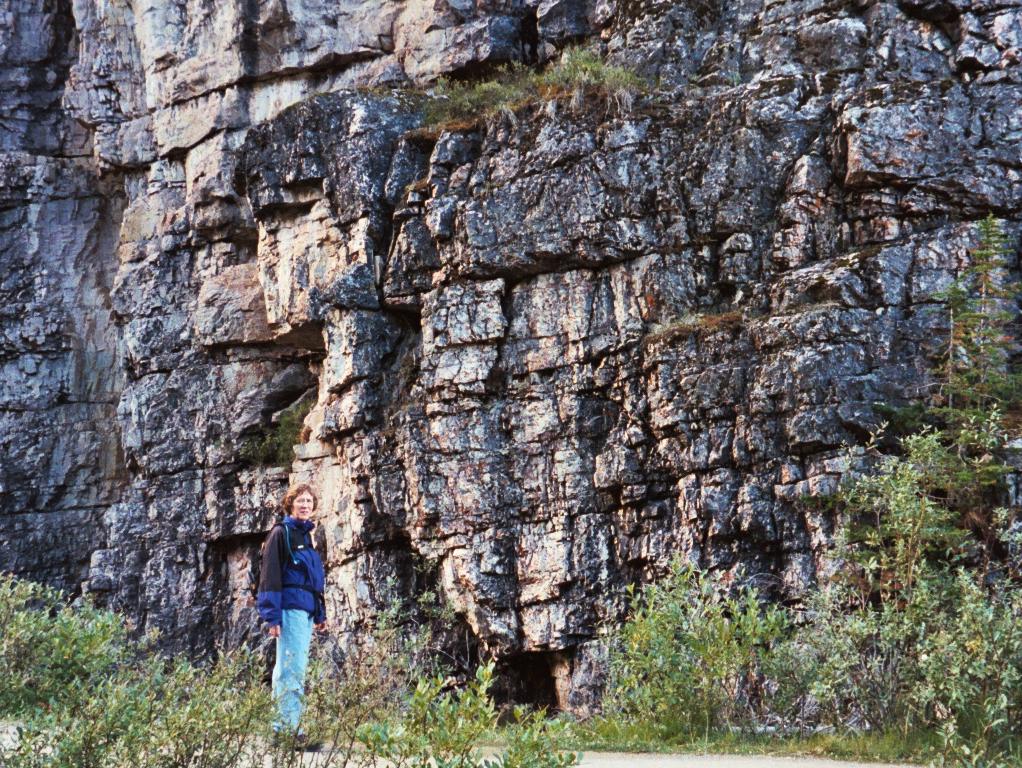
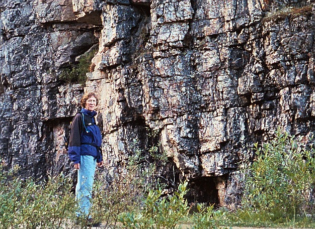
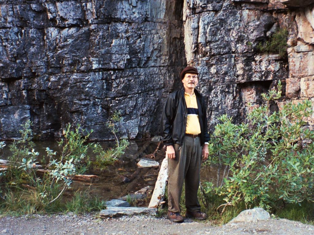
We drove straight to Banff after solving our Ice Cream Deficit at Peter's Drive Inn in Calgary, checked into our bed and breakfast, and then headed straight to the local cable car, paid the price to be lifted swiftly to the top of Sulphur Mountain, and watched the sun set from the top of Sanson's Peak with a couple of dozen other dazzled tourists. I burned up some film there; click here to see a few photos.
Of course (what can I say?), I took a few photos on this trip. I disciplined myself to use only one roll of 35mm film a day, and to take a photo only every time a really good image showed itself. A good rule, but one that doesn't spare the film when in such a beautiful place.
Here's a collection of some photos around Banff. The last few were taken in the rain as we left on September 3rd.
Before a very late supper I bought a small pile of wonderful topographical maps of the parks there (Banff, Yoho, Jasper, Kananaskis) and the next morning we sat down with Roy over breakfast. After we'd gotten acquainted, he took our maps and drew circles in many places. We "hit" about 2/3rds of them, and each of them was a wonderful recommendation. Afterwards we jumped in the car and set off through continuously spectacular scenery up Highway 1 past Lake Louise to Yoho Park and Emerald Lake and Takakkaw Falls. There's a lovely trail around Emerald Lake, and of course it's necessary to point the camera at the flora as well as the landscape. I forgot to buy a plant-identification guide, so I have failed to identify these plants for you.
There a wonderful trail leading north from Takakkaw Falls. We only walked as far as Point Lace Falls, because we were trying to explore superficially, thinking that some day we can return and leisurely meander through the nicest parts of these parks.
Many maps are available on the web; for example trailmonkey. Other sources of information include the local Canadian Rockies web site. You can take the train through the Rockies, with or without stops. A set of directories is available as well.
On the way home from Takakkaw Falls that day, we made a symbolic stop to walk along the shore of Lake Louise until sunset. After dark, we made it back to Banff and had wonderful Shabu Shabu (basically you fondue vegetables and thin slices of meat in soup stock, very light and healthy) at the Miki Japanese restaurant, and then collapsed into bed: we'd hiked 20 kilometers at elevations of about 1500-1600 meters, which impressed us even if it doesn't impress you. The Parks Canada Banff site contains a summary of short hikes.
Next morning we eased carefully out of bed as early as we could and headed off past Lake Louise up highway 93, the Icefields Parkway. It's about 200km from Banff to Jasper, a 3:30 drive if you don't stop to look at anything. The highway doesn't twist and turn through the mountains in the Colorado fashion, it just goes more or less straight northwest along the valleys, craggy mountains towering above along both sides of the road. I wished we had rented a convertible, so we could have rubbernecked freely. The photos in this large directory are roughly in order from south to north, the exceptions being the ones I took, on the way home, from north to south.
We stopped for awhile at Peyto Lake. It's a beautiful spot, but while the Japanese tourists took video of each other standing on the scenic overlook, we pottered slowly along the paths taking portraits of the wonderful, variegated, alpine flowers that were even yet blooming.
The Columbia Icefields are a huge tourist trap. We got there about noon and immediately jumped with both feet onto the bait, paying the bucks for a bus and snow-coach ride onto the glacier, where we and about 200 other tourists from many lands wandered aimlessly about for the space of half an hour, snapping photographs of each other standing in front of melting ice. Many had brought empty bottles, and filled them from the glacial melt and drank. I suppose, in retrospect, that there is something thrilling and spiritual about imbibing the melt of 600 year old ice, but whatever it is, we missed out on it.
This Mandatory Tourist Experience under our belts, we headed northwest along 93 again to Sunwapta Falls. Several people told us that 98% of the visitors never get more than 200 meters from the highway, and everything we saw seemed to confirm this. There were tour buses and campers and clots of people at Upper Sunwapta Falls, next to the parking lot. We hiked down the hill a couple of kilometers to Lower Sunwapta Falls, where we found no one at all. It was terrific! Three spectacular falls in about 500 meters, and we had it all to ourselves. There is a sad memorial there, a park bench with a plaque, donated by the family of a 19 year old boy who "accidentally died here." Just below the bench the granite slopes 10 meters down to roiling, swirling water at the top of the first falls; I could imagine boys playing, teasing, pushing, daring each other on the granite; then a foot slips, there's a shriek of fright, and one of them slides into the torrent, he and the others poignantly, suddenly vulnerable and mature, but he is tossed and tumbled by the icy white water over the rocks of three waterfalls to his death.
This morbid thought didn't stop me from asking Isa to pose for a photo on top of a triangle of granite below the falls that hung 15 meters above the river.
On the way back we walked with a man, an Alaska Airlines pilot treating himself to a motorcycle trip through the park and told the half-dozen hikers we met that the long walk was worth it.
A little further along the highway is Athabasca Falls. This falls is very accessible, so the tour-bus disembarkees were thick there, gently and persistently pushing on each other to get to the best spots for photos. I really should have turned my own camera on the tourists, but I was in Full Pretty-Picture Mode and didn't want to do it.
We rolled into Jasper just before sunset. It's a very small town, and we found our B & B (this one was without breakfast, which was just fine because most B & B hostesses prefer to serve breakfast at a civilized hour, when we'd really rather already be out exploring. No one was home. Tucked in the front door was an envelope on which was written "Mr. & Mrs. Johnson." This seemed to apply to us, more or less, so I plucked it out and read the letter inside. "We were called away on business. The door is unlocked; the key is on the ledge. Have a good time; thanks for staying with us." We didn't see Frances, our hostess, at all until we left. This B & B is a wonderfully roomy 2-bedroom apartment with slab-like Isabelle Mattresses.
The next morning was pretty cloudy. We explored near Jasper first, looking at Pyramid Lake in the mists. Then we went to Maligne Canyon. The Maligne River flows down its valley and disappears into Medicine Lake. There is no outlet--except that there's a hole in the bottom of the lake. Several kilometers away, fresh water from the lake shows up, flowing into Maligne Canyon. When we were there, muddy water from the last night's rains flowed into the upper canyon; low in the canyon gushers and springs and waterfalls of fresh, clear water diluted the mud and augmented the flow, transforming a creek into a river. It's a long, steep hike from the bottom of the canyon to the teahouse at the top, but it's worth every step.
The day was hardly half over, so we drove up to Maligne Lake and hiked up into the woods just to get some exercise. The trail to Lake Lorraine and Mona Lake went through spruce and pine woods carpeted by spectacular mosses and lovely wild flowers. We saw several mule deer, grouse, and birds; we saw no grizzly bears, but maybe that's because the silver-haired hikers who shared the trail sang and talked continuously as instructed in the anti-bear tourist guides.
After this, it still wasn't late, so we rested a bit on the lakeshore. We'd done a lot of hiking, and a therapeutic dip in Miette Hot Spring felt like a good idea. This was only an hour and a half away. I didn't take any photos of the new pool there for two reasons: first, it isn't particularly wierd or photogenic; second, I was planning to immerse myself, so I left the camera in the car. You'll just have to go see it for yourself.
Isabelle drove. I am glad you were not with us. Perhaps you are glad you were not along. You must understand that one of the secrets of great photography is to capture the moment when light, form, and texture all suddenly combine to create a delightful image. If this conjugation occurs while The Lady Isabelle is driving along the road at 90 km/hr, the naive bystander might hear her (first) husband shriek, from time to time, "STOP! ...No, back 10 feet. Now ahead a little. Great." And he then leaps out of the car, points his camera off into the distance, and time stops. When the photo has been taken, time resumes, he gets back in the car, and says, "OK." This is the signal to Isabelle that she can resume the interruptible journey. A patient, tolerant woman. A saint, really. But you knew that already...
We had a Japanese dinner in Jasper that night. The Canadian Weather Service, sadly, predicted an 80% chance of rain for the next day. The suspense with this sort of forecast is about the meaning. Does this mean it will rain 80% of the day? Or that 80% of the land area will receive rain at some point of the day? Or that at any given time it will be raining on 80% of the region? Or that there's a 20% chance that there will be no rain at all througout the region? Well, it means for sure that the day will be cloudy and the pictures will be less spectacular. (In case you are wondering, question 2 is the closest to being correct.)
After breakfast the next morning we had about 10 hours to explore our way back to Banff. We had an apppointment with Roy Andersen to look at some of his work the next morning, and then we had to leave Banff about 10 am to catch our 2 pm flight back to the prairie.
Edith Cavell Mountain seemed to be the most likely spot to explore. In case you forgot your Famous Nurses, Edith was a British nurse working in Belgium at the start of WWI. The area of her hospital was captured by the Germans in 1915. She took in both German and Allied soldiers, but she made the mistake of helping 200 allied soldiers escape, and for this treason the Germans executed her by a firing squad.
Isabelle drove up a narrow, potholded road 12 km to about 1800 meters with hardly a shriek from me (about stopping) At the end of the road there's a walking trail to the foot of the Angel Glacier about 1.5 km away. This glacier is not named after Edith; 100 years ago, the glacier had a wide skirt, a narrow waist, and wide, broad wings. Now, thanks to global warming, only the waist and wings remain. Every half hour or so we heard thunder that we discovered was actually pieces of glacier high on the mountain breaking off, the pieces tumbling hundreds of feet down the cliff.
After taking all this in, we decided we needed exercise to prep us for the long drive to Banff, so we hiked up to Cavell Meadows, a beautiful alpine meadow about 400 meters higher and about 2.5 km farther away. Going there is, frankly, like climbing a mile and a half long stairway. We were pleasantly surprised not to feel exhausted. Our high-altitude hikes paid off here. We were above 7000 ft at the top.
Then we drove back to Banff. Part of the way there were rain and clouds, but stormy weather is in some ways more spectacular than sunny weather. We stopped at Bow Lake for a therapeutic walk, but for the most part just drove ourselves along, and we got there early enough to go look at Lake Minnewanka, a large reservoir east of Banff.
The last day, we met Roy Andersen again. He'd been part of an art exhibit during the weekend that hadn't been taken down yet, and we got to see some of his large-format work. Roy's a fine photographer.
It rained almost steadily that morning. This assuaged the regret we might otherwise have felt at leaving such wonderful scenery.
The clouds vanished as we drove away from the mountains. We stopped for a Therapeutic Ice Cream Cone at Peter's Drive Inn, turned in our rental car, plodded through customs, and flew back to Reality.